Synopsis:
Early morning light rain will give way to sunshine today. It’ll be cool, but today will be the warmest day of the next five. Readings will only be a few degrees below the average high of the lower to mid 50s.
Sunshine will dominate Thursday through the weekend as unseasonably cold air funnels in from Canada courtesy of high pressure and an upper level trough. Sunday looks to be the coldest day of the season so far with many readings for highs remaining in the 30s.
There are no storms on the map through early next week. Our conditions at least will be tranquil, but yes-cold.
Stay tuned.
Keep it here for a no hype, no nonsense forecast.
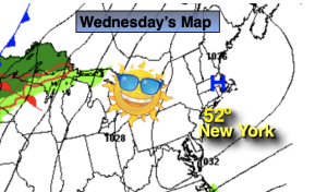
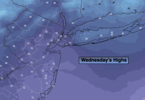
Wednesday:
Morning light rain to sun. Highs around 50º. Northwest winds at 10-20mph.
Tonight:
Mostly clear. Lows in the mid 30s in the City. The 20s and 30s inland. West winds at 8-12mph.
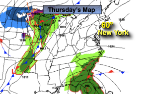
Thursday:
Mostly sunny. Highs in the mid 40s.
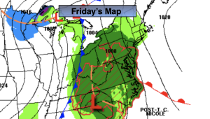
Friday:
Mostly sunny. Highs in the lower 40s.
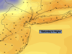
Saturday:
Mostly sunny. Highs around 40º.
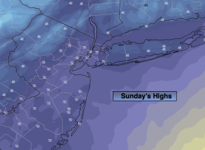
Sunday:
Mostly sunny. Cold. Highs in the upper 30s.