Synopsis:
Low pressure will move from the Ohio Valley into New England tonight. Clouds will thicken and rain will develop during the midday hours. The rain may come down heavy for a time later today. With the low passing to our West warm air will pivot counterclockwise around it’s circulation. Highs will be about five degrees above the average of 50º
The rain will taper off this evening and skies will clear late.
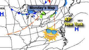
Our continuation of above average temperatures will continue into the upcoming week with high pressure once again moving in from the West for Monday and Tuesday. The sun will rule the sky.
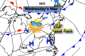
A cold front will approach on Wednesday with showers likely during the afternoon. It’ll be warm ahead of the approaching system on the last day of November.
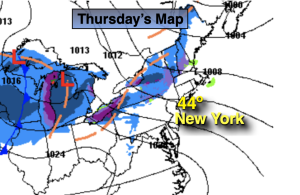
December’s debut on Thursday will be more typical of the season with colder readings and a gusty wind as a Canadian airmass moves in.
Stay tuned.
Keep it here for a no hype, no nonsense forecast.
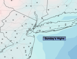
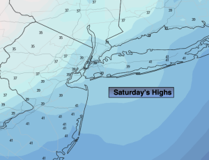
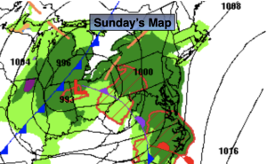
Sunday:
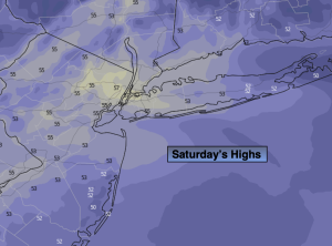
Rain developing by midday. Mild. Highs in the mid 50s. Southwest to South winds at 5-10mph.
Tonight:
Rain this evening. Skies will clear overnight. Lows in the mid to upper 40s along the urban corridor, around 40º inland. South to West winds at 10-15mph.
Monday:
Mostly sunny. Highs in the mid 50s.
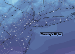
Tuesday:
Sunny. Seasonable. Highs in the upper 40s.
Wednesday:
Mostly cloudy. Warm. Showers likely during the afternoon. Highs around 60º.
Thursday:
Partly sunny, windy and colder. Highs in the mid 40s.