Synopsis:
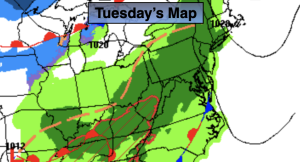
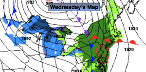
A Weak front will move in from the West today. Mild air will continue to be brought up from the South and West. Spotty showers are in the forecast for today as the front will be sluggish moving off the coast. Much of the day looks to be dry after mid-morning.
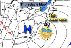
A break from the wet conditions is expected for Thursday with the sun finally returning.
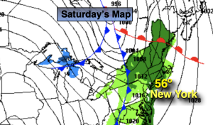
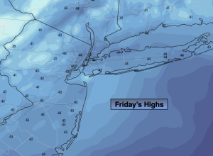
High pressure over Quebec will dominate our weather Friday and Saturday. A mix of sun and clouds is expected with a return to more December-like readings. Average highs are in the mid 40s.
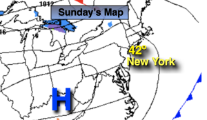
Sunday will feature more clouds than sun as a weak disturbance begins to head our way from the West. There maybe a bit of light rain mix with a bit of light wet snow by the end of the day.
Stay tuned.
Keep it here for a no hype, no nonsense forecast.
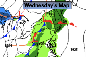
Wednesday:
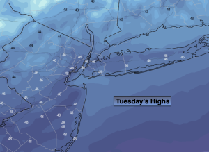
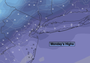
Cloudy with spotty showers. Mild. Highs in the upper 50s to around 60º. Southeast to Southwest winds at 5mph.
Tonight:
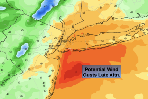
Clearing skies. Lows in the 40s throughout. West to Northwest winds increasing to 10-20mph late.
Thursday:
Mostly sunny. Mild. Highs in the lower to mid 5os.
Friday:
Partly sunny. Highs in the mid 40s.
Saturday:
Mostly sunny. Highs in the mid 40s.
Sunday:
More clouds than sun. Chance of a bit of light rain mixed with light wet snow late. Highs in the mid 40s.