Synopsis:
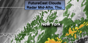
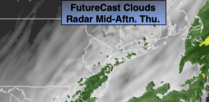
A weak disturbance moving along the coast will result in on and off light rain and drizzle through early afternoon. The day may end with a bit of sun over Western areas.
Skies will clear tonight and it will be seasonally cool.
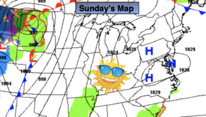
High pressure will nose in from Eastern Canada on Saturday resulting in a bright but cool day. Sunday may start off sunny, but a frontal system moving toward the region during the afternoon will increase the clouds and bring in the threat of showers.
Monday and Tuesday will be bright and chilly with readings a few degrees below the average of 54º as high pressure continues to dominate.
Stay Tuned.
Keep it here for a no nonsense, no hype forecast.
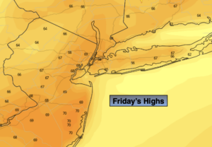
Today:
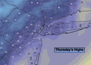
On and off light rain and drizzle. Peek of late day sun possible West. Highs in the lower 50s. Northeast to Northwest winds at 5-10mph.
Tonight:
Clear and chilly. Lows in the lower 40s in the City, the 30s inland. Northwest winds at 8-12mph.
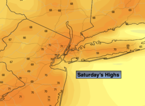
Saturday:
Sunny and seasonal. Highs in the lower to mid 50s.
Sunday:
Morning sun to afternoon showers. Highs in the upper 50s to around 60º.
Monday:
Mostly sunny and breezy. Highs in the lower to mid 50s.
Tuesday:
Mostly sunny. Chilly. Highs in the upper 40s.