Synopsis:
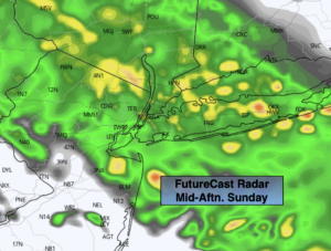
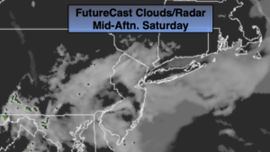
A mix of sun and clouds is expected for the weekend as high pressure influences the area. Readings today will be a several degrees below the average high of 61º. On Sunday readings will be around the normal high for the date.
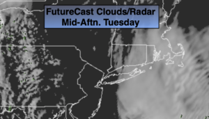
Temperatures will warm early next week to above average levels under a mix of sun and clouds. A spot shower is possible Monday afternoon. Tuesday will be the best day of the bunch.
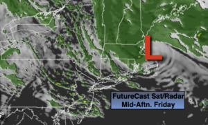
By Wednesday, a cool front will approach. Showers are likely, especially in the afternoon.
Stay tuned.
Keep it here for a no nonsense, no hype forecast.
Today:
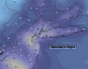
Clouds and sun. Highs in the mid 50s. Northwest winds at 5-10mph.
Tonight:
Partly cloudy. Lows in the mid 40s in the City, the mid to upper 30s inland. Northwest winds at 5-10mph.
Sunday:
Partly sunny. Seasonal. Highs around 60º.
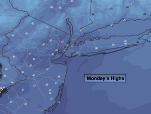
Monday:
Partly sunny. Spot PM shower chance. Highs in the lower to mid 60s.
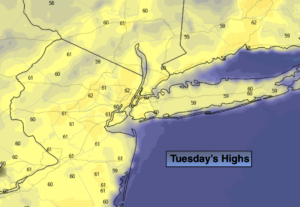
Tuesday :
Partly sunny. Warmer. Highs in the upper 60s to lower 70s.
Wednesday:
Clouds, some sun. Showers are likely, especially in the afternoon. Highs in the mid 60s.