Synopsis
Conditions will remain tranquil with very mild temperatures continuing as high pressure continues to move out into the Atlantic today. More clouds than sun are expected. A spot afternoon shower can’t be ruled out as a weakening front approaches from the West.
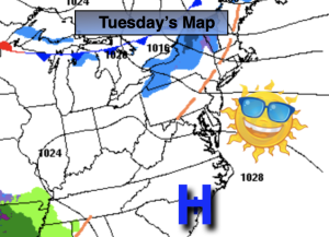
No major changes are expected for Monday as a second cold front approaches. It’ll still mild ahead of the front under a mix of sun and clouds.
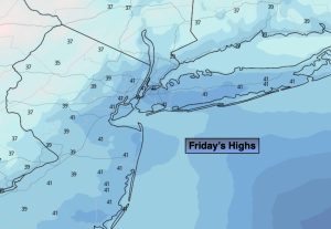
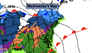
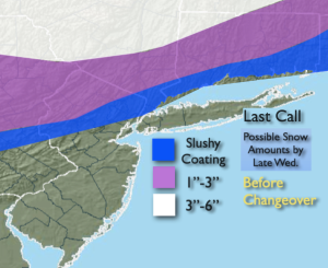
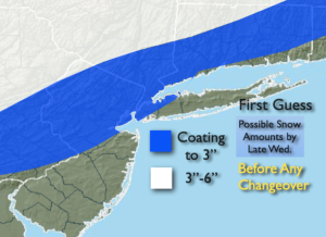
A colder airmass will work in for the last day of January and into February’s debut on Wednesday. At this time no precipitation is likely. Highs will be at or just below the average highs of the upper 30s.
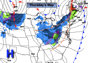
A tranquil Thursday is in the forecast as weather systems will be weak over the Northeast. Readings will moderate some.
Looking down the pike, an Arctic blast looks to be in the cards for the end of the week into the beginning of next weekend with still no snow in sight.
Stay tuned.
Keep it here for a no hype, no nonsense forecast
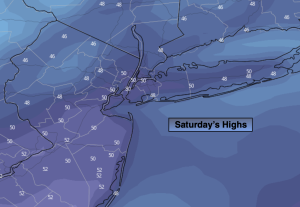
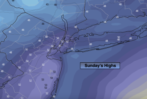
Sunday:
Mostly cloudy. Mild. An isolated shower is possible during the afternoon and early evening. Mild. Highs around 50º. South winds at 5-10mph.
Tonight:
Mostly cloudy. Lows in the upper 30s along the urban corridor, around 30º inland. Southwest to West winds 5mph.
Monday:
Clouds and sun. Mild. Highs in the upper 40s.
Tuesday:
Partly sunny. More seasonable. Highs in the upper 30s.
Wednesday:
Mostly sunny. Colder. Highs in the lower to mid 30s.
Thursday:
Sun and clouds. Highs around 40º.