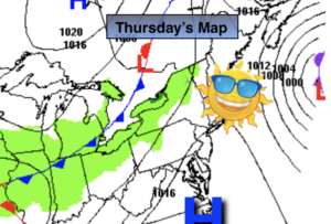
Synopsis:
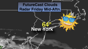
High pressure over Ontario will be our friend today. Any clouds will be pushed to the South with this system to our North, meaning it will turn out to be mostly sunny and mild. The rain has been taken out of the forecast.
Skies will be partly cloudy tonight.
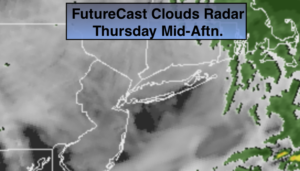
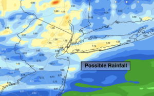
The weekend doesn’t look stellar. A warm front will be to our South. Saturday looks to start off dry but showers will roll in from West to East during the morning. Steadier rain will reach the region by afternoon.
The shower threat will continue on Sunday but it will not be a washout as a cool front approaches. Temperatures will be several degrees above the average high of the lower to mid 50s.
The beginning of the week looks tranquil as low pressure moves into the Canadian maritimes and high pressure noses in from Southern Canada.
Stay Tuned.
Keep it here for a no nonsense, no hype forecast.
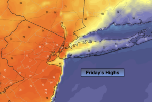
Today:
Clouds to sun. Mild. Highs in the mid 60s.
Tonight:
Partly cloudy. Lows in the mid 40s in the City, the 30s inland. North to Northeast winds at 5mph.
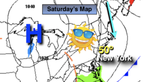
Saturday:
Mostly cloudy. Showers will move in from West to East during the morning. Steadier rain is likely during the afternoon. Highs in the lower 50s.
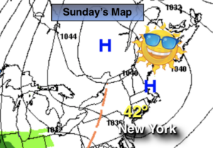
Sunday:
Mostly cloudy with scattered showers. Highs around 60º.
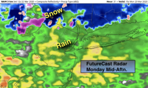
Monday:
Partly sunny. Highs in the upper 50s.
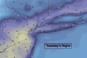
Tuesday:
Partly sunny. Highs in the mid 50s.
***Please take “social distancing” seriously during this time. We will get through this.****