Synopsis:
Much cooler air has moved down from Canada on a gusty Northwest wind. The culprit behind the strong wind is the difference in pressure between the storm over the Canadian maritimes and high pressure over the center of the nation. Today will start off with sun but clouds will eventually win the battle. Readings will be almost ten degrees below the average high of 60º.
More tranquil conditions are expected for the weekend. There will be a chill on Saturday as the winds ease. Easter Sunday will be more seasonal. Both days will feature plenty of sunshine as high pressure dominates over the Southeast.
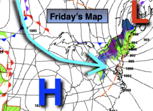
Rain is likely for the beginning of next week as a storm rides to our West. This track will also result in balmy temperatures.
Stay Tuned.
Keep it here for a no nonsense, no hype forecast.
Today:
Early sun will give way to mostly cloudy skies. Windy and cooler. Highs in the upper 40s to lower 50s. West to Northwest winds at 15-30mph with gusts to 45mph.
Tonight:
Mostly clear. Lows in the upper 3os in the City, near freezing inland. West to Northwest winds at 15-25mph with gusts to 30mph.
Saturday:
Sunny and breezy. Highs in the lower to mid 50s.
Easter Sunday:
Mostly sunny. Highs in the lower 60s.
Monday:
Rain likely. Highs in the upper 60s.
Tuesday:
Partly sunny. Highs in the upper 50s.
***Please take “social distancing” seriously during this time. We will get through this.****