Synopsis:
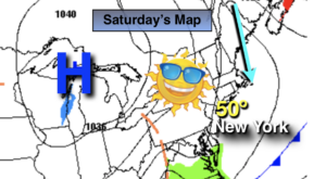
The last weekend of March will be grey and damp. A warm front will be to our South and cause on and off rain throughout the day, meaning there will be dry times. Highs will be near the seasonal average of the mid 50s.
Showers and drizzle are expected tonight with areas of fog.
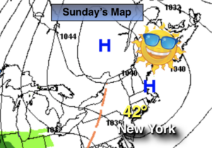
On Sunday, the warm front will have a hard time pushing to our North. This will result in a grey day with spotty morning drizzle and areas of fog. If we’re lucky there will be some brightening to the skies later in the afternoon to the South and West of the City.
The beginning of the week looks tranquil as low pressure moves into the Canadian maritimes and high pressure noses in from Southern Canada. Temperatures will be near the norm for this time of the year under a mix of sun and clouds.
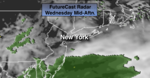
As we turn the page to April on Wednesday, a storm will be well to our South. All of the models have this system not affecting the area so at this time only the clouds from the storm look to push this far to the North.
Stay Tuned.
Keep it here for a no nonsense, no hype forecast.
Today:
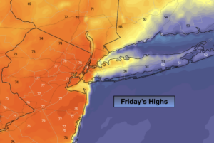
Periods of rain. There will be dry times. Highs in the mid 50s. East winds at 5mph.
Tonight:
Areas of light rain, drizzle and fog. Lows in the mid 40s throughout. East to Northeast winds at 8-12mph.
Sunday:
Morning drizzle and fog. Remaining mostly cloudy for the afternoon. Highs in the mid 60s.
Monday:
Partly sunny. Highs around 60º.
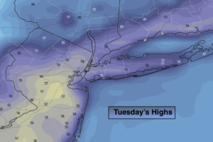
Tuesday:
Partly sunny. Highs in the mid 50s.
Wednesday:
Mostly cloudy. Highs in the lower to mid 50s.
***Please take “social distancing” seriously during this time. We will get through this.****