Synopsis:
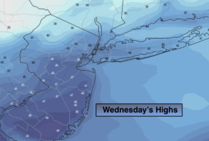
Any morning clouds will give way to sunny skies today. It will become breezy with readings near the average high for the date which is 42º.
It’ll be much colder tonight as Canadian air works in. All readings will be well below freezing.
The sun will dominate late week and into the weekend as extensive high pressure settles over the Eastern one half of the nation. Readings will be below average Thursday and Friday.
By the weekend the large dome of high pressure will slip off the coast resulting in a Southwest flow. This will allow the mercury to once again go above average.
The snow drought continues as the weather pattern is not favorable for any storm formation and or a cold enough airmass to support the white stuff.
Stay Tuned.
Keep it here for a no nonsense, no hype forecast.
Today:
Becoming mostly sunny. Highs in the mid 40s. Northwest winds at 10-20mph with higher gusts.
Tonight:
Clear and much colder. Lows in the mid 20s in the City, the upper teens inland. Northwest winds diminishing to 5-10mph.
Thursday:
Mostly sunny and cold. Highs in the mid 30s.
Friday:
Sunny. Chilly. Highs in the mid 30s.
Saturday:
Sunny. Milder. Highs in the upper 40s.
Sunday:
Sunny. Highs around 50º.