Synopsis:
Today’s readings will finally be near seasonal levels (near 50º) as Canadian high pressure influences the region. Any morning clouds will give way to sunny skies.
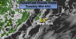
The beginning of the week starts off bright and cool but unfortunately by St. Patrick’s day on Tuesday showers are in the forecast as a front moves in from the West.
Wednesday will be bright and chilly as high pressure moves toward the Northeast from Canada.
Another round of showers are possible Thursday, the first day of Spring.
Stay Tuned.
Keep it here for a no nonsense, no hype forecast.
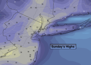
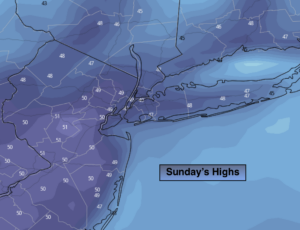
Sunday:
Morning clouds, otherwise mostly sunny. Seasonal. Highs around 50º. North winds at 5-10mph.
Tonight:
Clear, colder than recent nights. Lows near freezing in the City, the 20 in the ‘burbs. Northeast winds at 5mph.
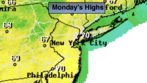
Monday:
Sunny and chilly. Highs mid 40s.
Tuesday (St. Patrick’s Day):
Mostly cloudy with a chance of showers, mainly in the morning. Highs in the mid 50s.
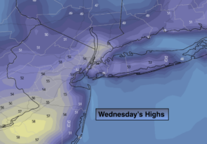
Wednesday:
Sunny. Highs in the upper 40s.
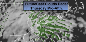
Thursday:
Mostly cloudy with scattered showers. Highs around 50º.