Synopsis:
Today will be mild under a mix of sun and clouds as high pressure moves off the coast.
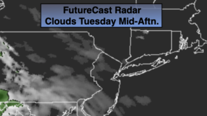
The weather will change rapidly over the next two days. A weak low will race toward the region tonight and Wednesday morning. Clouds will thicken this evening and scattered showers and thunderstorms will develop after midnight tonight. Wednesday will start off damp, but the sun should return during the afternoon. A spotty afternoon shower can’t be ruled out.
On Thursday, a cool front will be approaching. The day looks to start off dry but showers will roll in later in the morning. The front will sweep through and set the stage for a windy and chilly Friday. Highs will be below the average of 59º and the wind will add a bite.
More tranquil conditions are expected for the beginning of the weekend.
Stay Tuned.
Keep it here for a no nonsense, no hype forecast.
Today:
Sun and clouds. Mild. Highs in the mid 60s. West to Southwest winds at 5-10mph.
Tonight:
Scattered showers and storms developing after midnight. Lows in the lower 50s in the City, the mid to upper 40s inland. Southwest wind at 5mph.
Wednesday:
Scattered morning showers, otherwise becoming partly sunny. A spot afternoon shower can’t be ruled out. Highs around 60º.
Thursday:
Mostly cloudy with scattered showers. Highs around 60º.
Friday:
Partly sunny, wind and cooler. Highs in the lower to mid 50s.
Saturday:
Partly sunny. Highs in the mid 50s.
***Please take “social distancing” seriously during this time. We will get through this.****