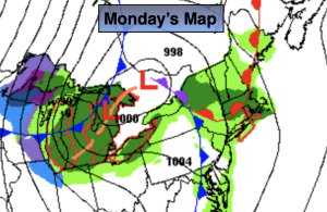
Synopsis:
It’ll be unsettled through Wednesday. The threat of scattered showers, areas of drizzle and fog are in the forecast as the flow will be coming off the ocean and weak disturbances move in from time to time. It will not be a washout. Temperatures will rise to above average levels today and Wednesday as milder air works in from the Southwest.
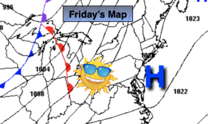
We’ll finally get a break from the dismal weather by Thursday as a front sweeps through and high pressure moves in. Mostly sunny skies are expected with mild readings. Friday and Saturday will be a winners with more seasonable readings (average highs are around 60º).
Stay tuned.
Keep it here for a no hype, no nonsense forecast.
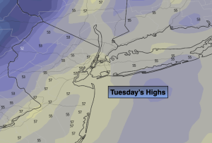
Tuesday:
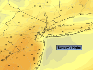
Spotty Drizzle. Areas of fog. Milder. Highs in the upper 60s. East winds at 5mph.
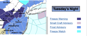
Tonight:
Scattered showers, areas of drizzle and fog. Lows in the 50s to lower 60s in the City. Northeast winds less than 5mph.
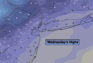
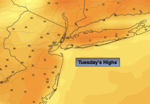
Wednesday:
Cloudy. Scattered showers possible. Warm. Highs in the 60s to around 70º.
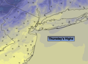
Thursday:
Sunny. Mild. .Highs in the upper 60s.
Friday:
Sunny. More seasonable. Highs in the lower 60s.
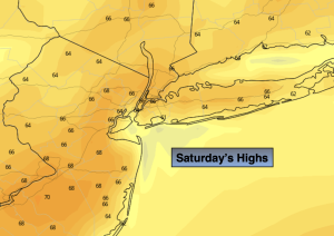
Saturday:
Sunny. Highs around 60º.