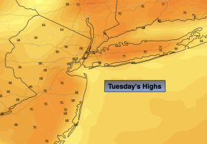
Synopsis:
High pressure will strengthen over the Northeast and dominate our area for the beginning of November. Temperatures will be well above the average highs of the upper 50s. Today through Sunday’s forecast will be a familiar one with mild to warm readings and sunny skies as high pressure dominates. Indian Summer is on the way for those areas that received a frost or freeze (which is most locations outside the urban corridor). Enjoy!
Stay tuned.
Keep it here for a no hype, no nonsense forecast.
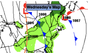
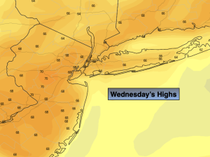
Wednesday:
Sunny. Highs in the upper 60s. North to Northeast 5-10mph.
Tonight:
Clear skies. Lows in the mid 50s in the City, the 30s & 40s inland. Northeast to East winds less than 5mph.
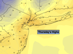
Thursday:
Sunny. Highs in the mid 60s.
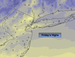
Friday:
Sunny. Highs in the upper 60s.
Saturday:
Mostly sunny. Warm. Highs in the lower 70s.
Sunday:
Mostly sunny. Warm. Highs in the lower to mid 70s.