Synopsis:
The combination of high pressure off the East coast and an approaching cool front will make for a late April feel today. Highs will reach the mid 60s under mostly cloudy skies. Spotty showers are possible but the majority of the will be dry.
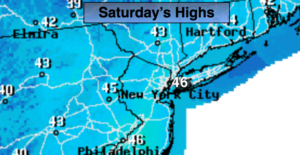
The upcoming weekend looks quiet as high pressure moves toward the East coast. The sun will once again will rule the sky. Readings on Saturday will be near the average high of 50º with a gusty wind. There will be a chill in the air by Sunday.
The workweek will start off cool and tranquil.
There has been some chatter of a possible storm next week. NONE of the computer models including JMW have a storm affecting the tri-state area.
Keep it here for a no nonsense, no hype forecast.
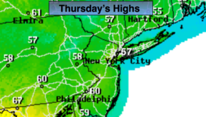
Today:
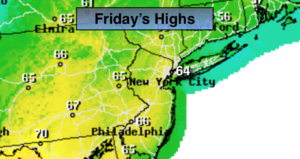
Mostly cloudy and balmy with spotty showers. Highs in the mid 60s. South to Southwest winds at 8-12mph.
Tonight:
An evening shower, otherwise becoming mostly clear. Lows in the mid 40s in the City, the upper 30s inland. Southwest to West winds at 10-15mph.
Saturday:
Partly sunny and breezy. Highs around 50º.
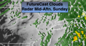
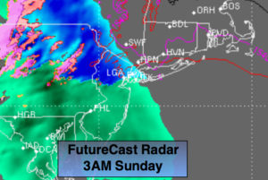
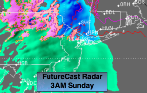
Sunday:
Partly sunny, cooler. Highs in the mid 40s.
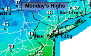
Monday:
Mostly sunny. Highs in the mid 40s.
Tuesday:
Sunny. Highs in the mid 40s.