Synopsis:
A warm from moved farther North than expected today. This resulted and will continue to result in a fine April afternoon South of the city with partly sunny skies and readings in the 70s. To the North the wind will blow off the ocean resulting in a cool, grey day.
The front may slip back to the South tonight resulting in more clouds and areas of fog for regions to the South of the City.
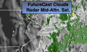
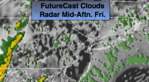
On Friday, the warm front will push North of the region again. A deep Southerly flow will develop. Balmy conditions and scattered showers are expected. More clouds than sun is expected. Passover begins at sundown which is at 7:39PM.
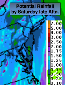
A round of steady and heavier rain is likely Friday night into Saturday as a storm develops over the central Appalachians and moves North. At the same time a front will be sweeping into the area. Thunderstorms are possible as well. Where the plume of heavy rain sets up is yet to be determined. Also, the speed of the front moving off the coast may slow resulting in the rain continuing into a part of the afternoon. Flooding is a concern, especially in areas that received heavy rain earlier this week. A Flash Flood Watch is in effect for Friday Night and Saturday for the entire tri-state area excluding Monmouth and Ocean counties.
Easter Sunday will feature a mix of clouds and sun. A spot shower can’t be ruled out as an upper level low moves over the area.
On Monday, the upper low looks to stall for a time. Some of the models redevelop a low just off the coast. If this pans out Monday will feature showers and cooler temperatures. This is not etched in stone.
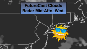
Tuesday will be partly sunny and much warmer.
Keep it here for a no nonsense, no hype forecast.
Stay tuned.
Tonight:
Mostly cloudy. Mild. Lows in the 50s throughout. South wind at 10-15mph.
Friday:
Mostly cloudy, warm and breezy. On and off showers. Highs near 70º. South winds at 15-25mph.
Saturday:
Rain and possible thunderstorms. The rain will taper off during the afternoon. Highs in the mid 60s.
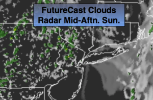
Easter:
Clouds and sun. Spotty showers. Highs in the mid 60s.
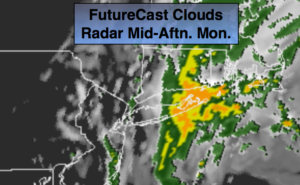
Monday:
Mostly cloudy with showers possible. Highs in the mid 60s.
Tuesday:
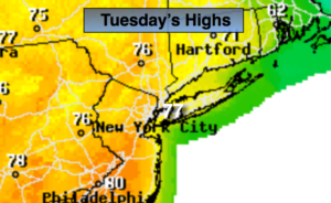
Partly sunny. Warm. Highs in the mid 70s.