Synopsis:
Our fine July weather will continue. High pressure will continue to nose in from Eastern Canada. This will keep the humidity and hot conditions at bay. This is atypical for mid July. It’ll be comfortably warm and sunny, but the humidity will be at very low levels for July.
By the end of the week, a more Southerly flow will take hold. This will result in increasing humidity and temperatures on Friday. This is also the next day for the threat of afternoon scattered storms as a warm front moves in. .
The 3 H’s will be back for the weekend. This looks to be the start of a hot stretch.
Stay Tuned.
Keep it here for a no nonsense, no hype forecast.
Today:
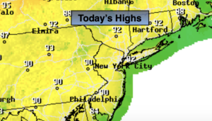
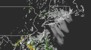
Mostly sunny. Highs in the lower to mid 80s. Northeast to Southeast winds at 5-10mph.
Tonight:
Mostly clear and comfortable. Lows in the upper 60s in the City, near 60º well inland. Southeast winds at 5mph.
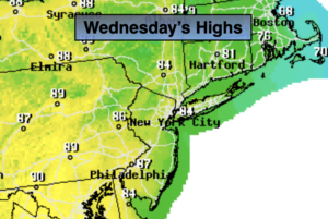
Thursday:
Mostly sunny. Highs in the lower to mid 80s.
Friday:
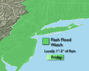
Hazy, warm and humid. Scattered afternoon storms. Highs in the mid 80s.
Saturday:
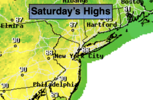
Hazy, hot and humid. Highs in the lower 90s.
Sunday:
Hazy, hot and humid. Highs in the lower to mid 90s.