Synopsis:
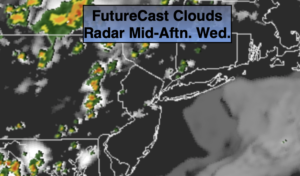
The humidity will be back today. A push of tropical air that has been just to our South has moved North. Hazy sun is in the forecast. The threat of scattered strong to severe storms will exist this afternoon and evening in the unstable airmass. Please keep an eye to the sky for threatening weather. A familiar forecast is on the way for Thursday. The scattered storms will not be as strong.
Relief from the humidity will arrive on Friday behind a cool front. Skies will be mainly sunny.
The weekend at this time looks decent with plenty of sun, warm readings and tolerable levels of humidity.
Stay Tuned.
Keep it here for a no nonsense, no hype forecast.
Today:
Hazy, hot and humid. Spotty PM strong to severe Storms. Much of the time will be dry. Highs in the upper 80s. East to Southeast winds at 5-10mph.
Tonight:
Scattered early storms, otherwise partly cloudy, warm and muggy. Lows in the mid to upper 70s in urban areas, the upper 60s and lower 70s inland. Winds becoming West at under 5mph.
Thursday:
Hazy, hot and humid. Spotty PM Storms. Highs around 90º.
Friday:
Mostly sunny. Less humid. Highs in the upper 80s.
Saturday:
Mostly sunny. Highs in the mid to upper 80s.
Sunday:
Mostly sunny, hot and more humid. Highs around 90º.