Synopsis:
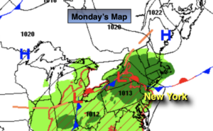
A stationary front will be draped across the region today. Scattered showers are expected. There will be dry times. Readings will be just above the average high of 69º.
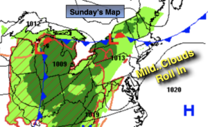
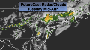
The threat of showers will continue tonight into Tuesday morning as the front washes out over the region. A peek of sun is possible later in the day on Tuesday.
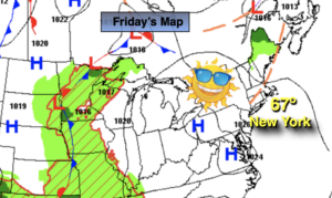
Strengthening high pressure will be over New England on Wednesday. The sun will return and temperatures will be pleasant.
Fine Fall conditions will be with us through the end of the week. It’ll be bright and comfortable.
Keep it here for a no hype-no nonsense forecast.
Stay tuned.
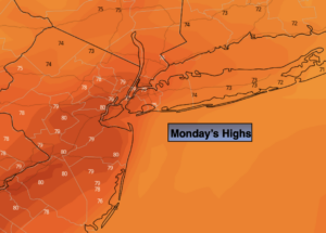
Monday:
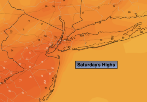
Scattered showers. Highs in the lower 70s. Northeast winds at 5-10mph.
Tonight:
Scattered showers. Lows around 60º in urban areas, the 50s inland. Northeast wind at 5mph.
Tuesday:
Mostly cloudy. Spotty showers in the morning. Highs around 70º.
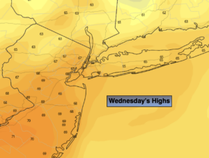
Wednesday:
Becoming mostly sunny. Highs around 70º.
Thursday:
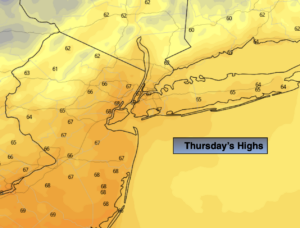
Sunny. Highs in the lower to mid 70s.
Friday:
Mostly sunny. Highs in the lower 70s.