Synopsis:
Today will be the coldest day of the season so far despite mainly sunny skies. Highs will not get out of the 30s and a strong wind will add a bite. Wind chills will remain in the 20s all day. A cold pool of air from Canada is responsible for the Winter preview.
A hard freeze is expected in all areas Sunday night.
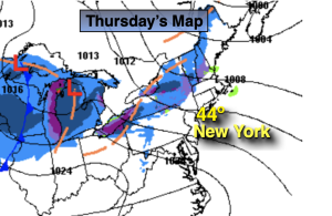
Temperatures will begin a slow recovery starting on Monday as high pressure builds over the Southeast. A better feel is expected by Tuesday and Wednesday as readings finally get close to average, the lower 50s. Skies will be mainly sunny. The weather will cooperate in the Northeast for travel for the holiday.
Thanksgiving will be bright and seasonable.
Stay tuned.
Keep it here for a no hype, no nonsense forecast.
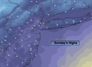
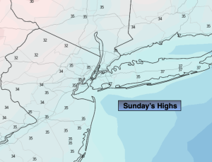
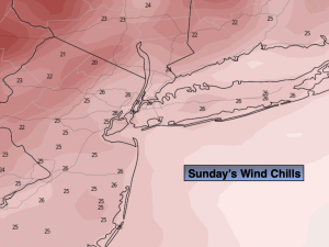
Sunday:
Mostly sunny, windy and cold. Highs in the upper 30s. Wind chills in the 20s. West to Northwest winds at 15-30mph.
Tonight:
Mostly clear. Cold. Lows in the mid 20s along the urban corridor, the teens and 20s inland. West to Northwest winds 15-30mph during the evening, diminishing to 5-10mph late.
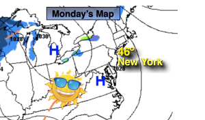
Monday:
Mostly sunny. Highs in the lower 40s.
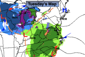
Tuesday:
Sunny. Not as cold. Highs in the upper 40s to around 50º.
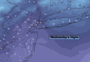
Wednesday:
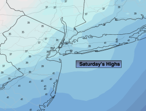
Sunny. Seasonable. Highs in the lower 50s.
Thanksgiving:
Sunny. Seasonable. Highs in the lower 50s.