Synopsis:
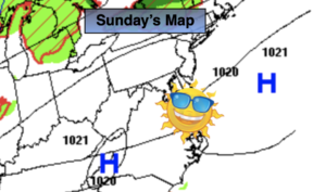
The upcoming workweek looks delightful as high pressure makes its trek from the Northern Plains to the Northeast. Abundant sunshine is expected the next five days. Seasonable readings are anticipated through Tuesday (the lower to mid 70s). Temperatures will cool off into the 60s Wednesday through Friday as a push of Canadian air works in.
Keep it here for a no hype, no nonsense forecast.
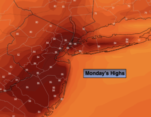
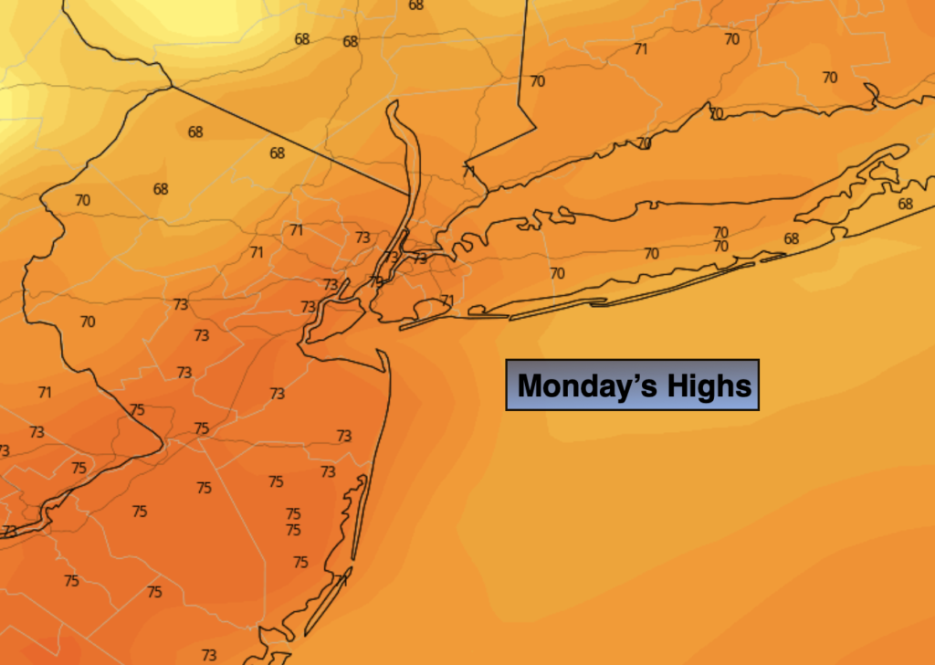
Monday:
Mostly sunny, breezy. Highs in the lower to mid 70s. West to Southwest winds at 10-20mph.
Tonight:
Mostly clear and cool. Lows in the upper 50s in the City, the 40s inland. West to Southwest winds 5-10mph.
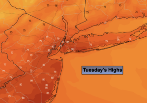
Tuesday:
Mostly sunny. Highs in the lower 70s.
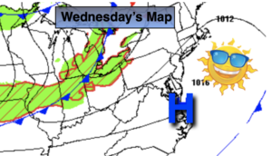
Wednesday:
Sunny. Highs in the 60s to around 70º.
Thursday:
Sunny. Cooler. Highs in the mid to upper 60s.
Friday:
Sunny. Cooler. Highs in the mid 60s.