Synopsis:
Low pressure will move through this morning with scattered showers. The sun should make an appearance soon after the showers end. Temperatures will be just below the seasonal average of 58º.
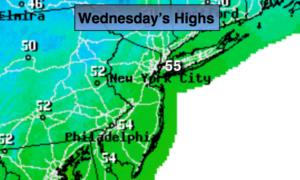
A tranquil period is expected midweek as high pressure moves in. Temperatures will moderate to above average levels by Halloween, great trick or treating weather! Thursday will feel like Spring, as we turn the page to November, with readings well into the 60s. The sun will dominate the sky Tuesday through Thursday.
Showers are likely on Friday as a cool front approaches.
You know where to find a no hype, no nonsense forecast.
Stay tuned.
Today:
Scattered morning showers, otherwise a mix of clouds and sun. Highs in the mid 50s. West to Northwest winds at 10-20mph.
Tonight:
Partly cloudy. Lows in the lower 40s in the City, the 30s inland. West/Southwest winds at 8-12mph.
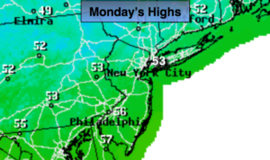
Tuesday:
Mostly sunny. Highs in the mid 50s.
Halloween:
Partly sunny and milder. Highs in the mid 60s.
Thursday:
Partly sunny. Warm. Highs in the upper 60s.
Friday:
Mostly cloudy with showers. Highs in the lower 60s.
Keep it here for a no nonsense, no hype forecast.