Synopsis:.
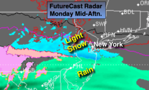
An arc of moisture will stream ahead of a developing low in the Tennessee Valley today. The potential continues for light snow or snow showers to break out late morning or afternoon from the NYC vicinity and to the South and West. Over Ocean county rain or a mix is likely. A dusting of snow is possible by Monday Night for the City and to the South.
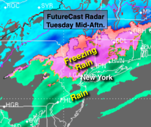
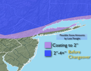
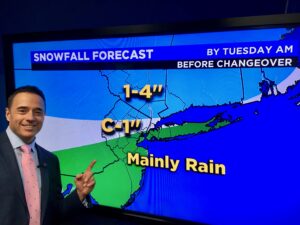
The low will move toward the region tonight. This is when steady and heavier precipitation is expected to develop. A thump of snow is expected for Northern NJ through the City to Long Island and to the North. A coating of snow is possible in the immediate NYC area overnight before the snow changes to rain. North and West it will snow longer. 1″-4″ of snow is possible by morning.
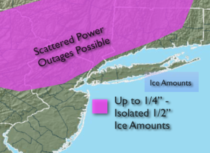
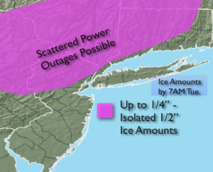
There is a concern for a prolonged period of sleet and freezing rain inland. A tenth to a quarter inch of glaze is possible overnight into Tuesday. Please use caution.
The low will move off the coast on Tuesday. Sleet and freezing rain just inland and rain along the coast will continue. The precipitation will taper off during the afternoon.
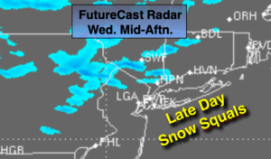
Wednesday we’ll dry out under a mix of clouds and sun. It will turn dramatically colder during the afternoon as Arctic air moves in.
Thursday will be very cold with highs below freezing as the cold high move toward the area. Friday will be bright and cold with readings near freezing.
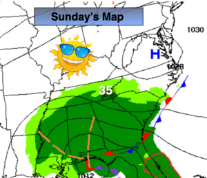
There has been chatter about a weekend storm. The models are in a state of flux and until there is some sort of clarity JMW is keeping it storm-free.
Stay Tuned.
Keep it here for a no hype, no nonsense forecast.
Today:
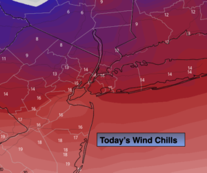
Cloudy and cold with light snow or snow showers developing during the afternoon, mainly from the City and to the South and West. A mix is possible over Ocean county. Highs in the mid to upper 30s. Northwest to Northeast winds at 5mph.
Tonight:
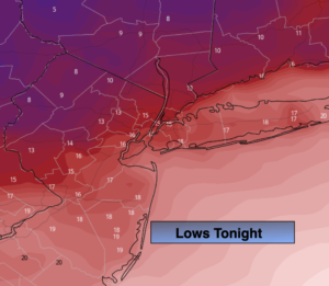
Snow, mix, rain. Lows in the mid 30s in the City, the upper 20s to lower 30s inland. Northeast winds at 5-10mph.
Tuesday:
Rain along the coast. Sleet and freezing rain inland. Ice accumulation will be a concern. Highs around 40º along the coast, near freezing well inland.
Wednesday:
Partly sunny, windy and turning colder during the afternoon. Highs in the upper 30s in the morning with readings dropping to near freezing by late day.
Thursday:
Sunny and cold. Highs only in the 20s.
Friday:
Sunny, cold. Highs near freezing.