Synopsis:
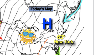
Strong high pressure located over the Northeast will supply the region unseasonably cool and sunny conditions today. Today is Summer’s finale. Temperatures will be several degrees below the average high of 74º.
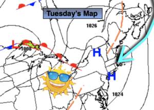
Autumn arrives at 9:30am EDT on Tuesday. Readings will rebound to near average levels under abundant sunshine. A milder area of high pressure developing over the Ohio Valley will influence our weather mid to late week. Temperatures will get to above average readings. We won’t be able to buy a drop of rain this week as this dry pattern looks locked in through Friday.
Stay Tuned.
Keep it here for a no nonsense, no hype forecast.
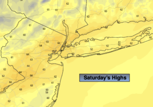
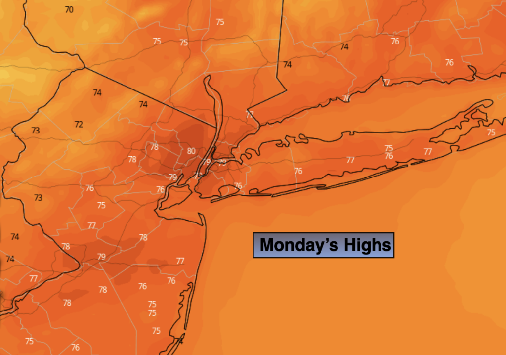
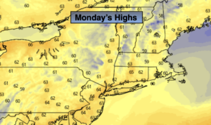
Monday:
Sunny. Highs in the mid to upper 60s. Northeast winds at 10-15mph.
Tonight:
Clear and cool. Lows in the lower 50s in urban areas, the 30s and 40s inland. North to Northeast wind at 5mph.
Tuesday:
Sunny. Highs in the lower 70s.
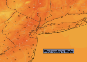
Wednesday:
Sunny. Warmer. Highs in the upper 70s.
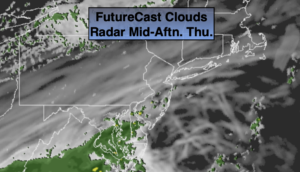
Thursday:
Mostly sunny. Warm. Highs in the upper 70s.
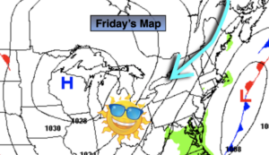
Friday:
Partly sunny. Highs in the upper 70s.