Synopsis:
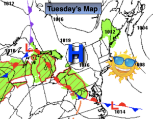
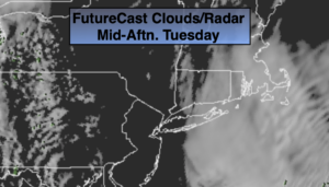
Today will be the pick day of the week with abundant sunshine and seasonal readings as a ridge of high pressure builds over the tri-state area.
Wednesday will start off with some sun, but clouds will rule the sky. Spotty showers are possible by afternoon as an impulse from the West moves through. It’ll be mild.
A developing storm will affect the region for late week. Rain is in the forecast for Thursday. The storm will slowly pull away on Friday. Showers will taper off during the day. This storm has an energetic upper level cold low. This will result in very chilly temperatures both Thursday and Friday.
The sun will return for the beginning of the weekend with near average temperatures.
Stay tuned.
Keep it here for a no nonsense, no hype forecast.
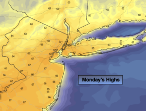
Today:
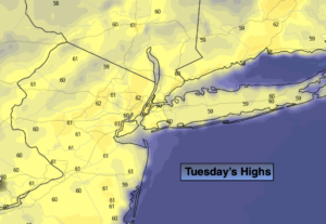
Mostly sunny. Seasonal. Highs around 60º. North wind at 5-10mph.
Tonight:
Partly cloudy. Lows around 50º in the City, the 40s inland. Winds becoming Southwest at less than 5mph.
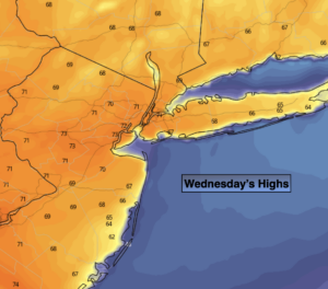
Wednesday:
Early sun to clouds. Spotty PM showers. Mild. Highs in the mid 60s.
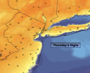
Thursday:
Rain likely. Chilly. Highs in the upper 40s.
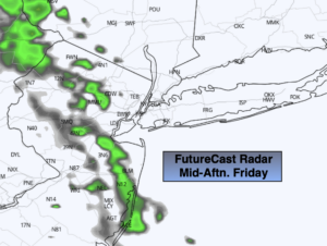
Friday:
Morning showers, remaining mostly cloudy. Chilly. Highs around 50º.
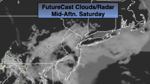
Saturday:
Partly sunny. Highs around 60º.