Synopsis:
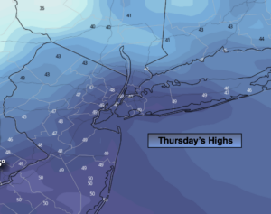
Today will be windy and cold under a mix of sun and clouds. Low pressure in Eastern Canada and high pressure over the East coast will be responsible for the strong winds and chill. Highs will struggle to get to 50º. The average high is in the lower 60s.
Tonight will be chilly, but not as cold as last night. Skies will be partly cloudy.
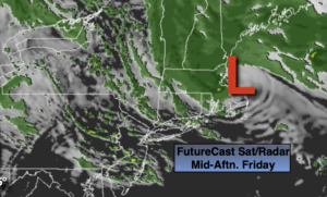
Temperatures will rebound on Friday to seasonal readings under partly sunny skies a high pressure builds in.
The weekend will start off pleasant with mild sunshine. Saturday will be the better half of the weekend. On Sunday a storm will form in Virginia and move Northeast. Rain is likely through midday. The sun will return during the afternoon.
The beginning of next week will be bright and mild.
Stay tuned.
Keep it here for a no nonsense, no hype forecast.
Today:
Partly sunny, windy and cold. Highs in the 40s to around 50º. Northwest to West winds at 15-25mph with gusts to 35mph.
Tonight:
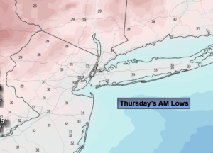
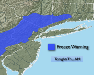
Partly cloudy, breezy and chilly. Lows around 40º in the City, the upper 20s to 30s inland. Northwest winds at 10-20mph.
Friday:
Mostly sunny. Seasonal. Highs in the lower 60s.
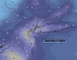
Saturday:
Partly sunny. Mild. Highs in the mid to upper 60s.
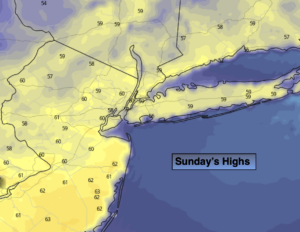
Sunday:
Rain likely through midday. The sun will return during the afternoon. Highs in the lower 60s.
Monday:
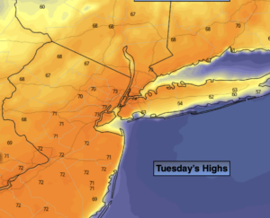
Mostly sunny. Highs in the lower to mid 60s.