Synopsis:
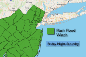
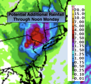
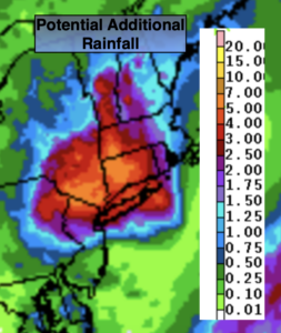
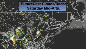
A cool front will move South through the region today bring relief from the heat. We’ll trade the 90s for the 70s. On and off showers are likely. Some areas won’t see much in the way of rainfall. Other regions, especially to the East of the City, may experience periods of heavy rain this morning.
Sunday will be the better half of the weekend. Clouds will give way to some sun. Readings will near the seasonal averages of around 80º.
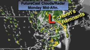
The beginning of the week will be warm and sticky under hazy sun. A spotty late day storm is possible on Monday. Tuesday will rain-free.
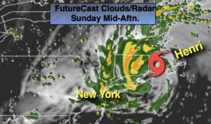
Hurricane Ida is expected to be a powerful category 4 hurricane when it makes landfall along the Louisiana coast Sunday night. Our prayers go out to the people of the Deep South as the storm moves in.
The remnants of Hurricane Ida may affect our region beginning Wednesday with the increasing chance of showers. Our region will not experience strong winds, but an axis of heavier rain may set up as the remnants moves up the Appalachians.
Keep it here for a no nonsense, no hype forecast.
Stay tuned.
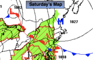
Saturday:
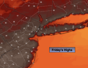
Much cooler. Mostly cloudy with scattered showers. Locally heavy rain in spots. Many areas will remain dry. Highs in the mid 70s. East to Northeast winds at 8-15mph with higher gusts especially along the coast.
Tonight:
Mostly cloudy. Cooler than recent nights. Lows in the 60s throughout. East winds at 5-10mp.
Sunday:
Morning clouds to some sun. Highs around 80º.
Monday:
Hazy, warm and humid. Spotty late day storm possible. Highs in the mid 80s.
Tuesday:
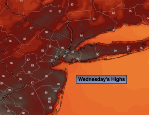
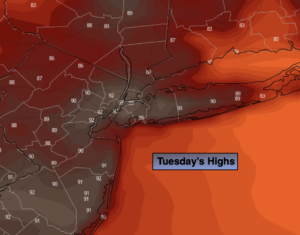
Hazy, warm and humid. Highs in the mid 80s.
Wednesday:
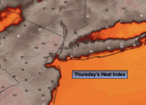
Mostly cloudy with showers possible. Humid. Highs in the upper 70s.