Synopsis:
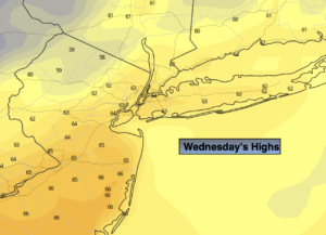
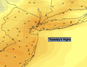
Areas of morning fog will give way to a mix of sun and clouds. It’ll be a Spring feel in mid November. A Southwesterly wind around offshore high pressure will result in temperatures sky-rocketing nearly fifteen degrees above average high of 53º.
A cool front will move through tonight with a period of rain.
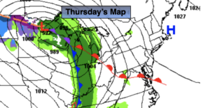
November will return on Friday as a chilly airmass moves in around an area of cold high pressure over the Midwest.
The weekend looks bright and cool as high pressure dominates.
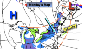
Another front will approach on Monday with a period of rain.
There has been chatter about a storm potential for early next week. The latest computer guidance suggests that this storm will be too far offshore and North to affect the region.
You know where to find a no hype, no nonsense forecast.
Stay tuned.
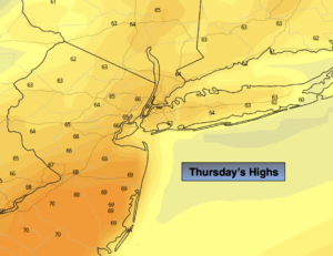
Thursday:
Partly sunny, warm and breezy. Highs in the mid to upper 60s. Southwest winds at 8-15mph.
Tonight:
A period of rain is likely. Breezy. Lows will be in the 40s in the City, the 30s inland. Southwest to Northwest winds at 10-20mph.
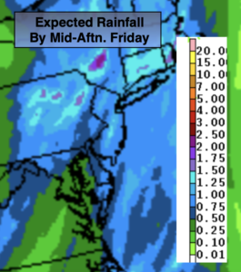
Friday:
Partly sunny, breezy and colder. Highs in the upper 40s.
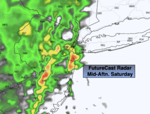
Saturday:
Sunny. Chilly. Highs in the upper 40s.
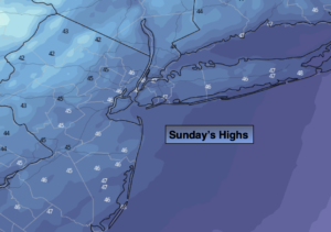
Sunday:
Sun to clouds. More seasonal. Highs in the mid 50s.
Monday:
Mostly cloudy with a period of rain likely. Highs in the mid 50s.