Synopsis:
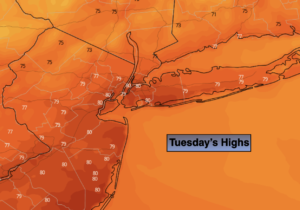
High pressure will make its trek from the Northern Plains to the Northeast this week. Abundant sunshine is expected through the end of the week. Temperatures will cool off into the 60s through Friday as a push of Canadian air works in.
Hurricane Ian will batter parts of Florida this week. Our hearts go out to those affected. Some of the remnant moisture may make it up here by the weekend. Saturday will see more clouds with possible afternoon showers. There is a chance of some rain on Sunday depending on how the moisture field sets up with Ian’s remnants. We are not expecting severe conditions.
Keep it here for a no hype, no nonsense forecast.
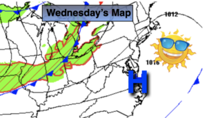
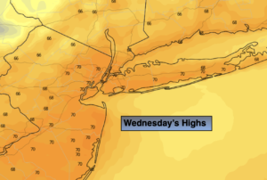
Wednesday:
Sunny. Highs in the 60s to around 70º. West to Northwest winds at 8-12mph.
Tonight:
Clear and cool. Lows in the mid 50s in the City, the 40s inland. Northwest winds at 8-12mph.
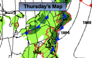
Thursday:
Sunny. Cooler. Highs in the mid to upper 60s.
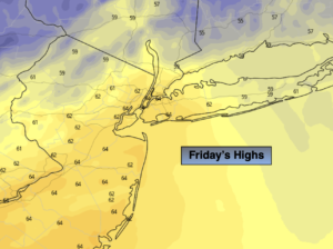
Friday:
Mostly sunny. Highs in the mid 60s.
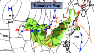
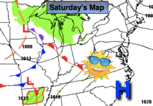
Saturday:
Mostly cloudy. Showers possible by afternoon. Highs in the mid to upper 60s.
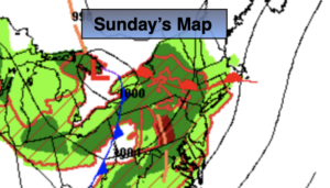
Sunday:
Mostly cloudy with a chance of rain. Highs in the mid to upper 60s.