Synopsis:
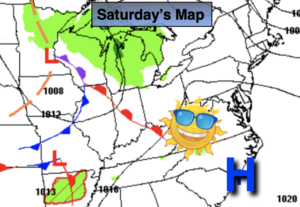
The first weekend of Fall will start off delightful as high pressure sits overhead. A bright Saturday is expected with readings a few degrees below average (74º). Sunday will feature more clouds with late afternoon and evening showers as a disturbance works in from the West.
The beginning and mid portion of the workweek looks delightful with seasonable readings as high pressure dominates.
Keep it here for a no hype, no nonsense forecast.
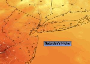
Saturday:
Sun & clouds. Highs around 70º. Northwest to West winds at 8-12mph.
Tonight:
Mostly cloudy. Isolated showers possible. Lows in the upper 50s in the City, the 40s inland. West to Southwest winds under 5mph.
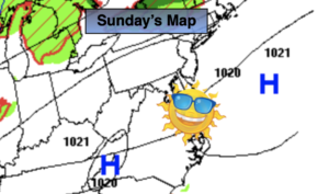
Sunday:
More clouds than sun. Scattered late afternoon showers and evening showers. Highs in the lower to mid 70s.
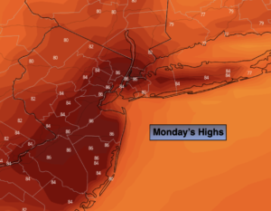
Monday:
Mostly sunny. Highs in the mid 70s.
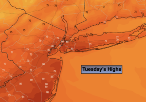
Tuesday:
Mostly sunny. Highs in the lower to mid 70s.
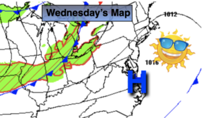
Wednesday:
Sunny. Highs around 70º.