Synopsis:
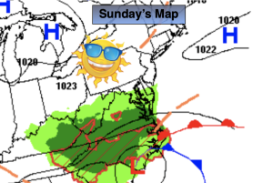
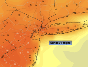
The Memorial Day Weekend will be a winner. Low pressure will stay to the South through the holiday. Clouds will push in from time to time on Monday, but high pressure Northeast will keep us dry and pleasant. Readings will be a few degrees above the average high of the mid 70s. It looks like it will be a rare 3 for 3 for the three day holiday weekend! Enjoy.
Heading back to reality on Tuesday conditions will not have changed much. It’ll be cooler, but the sun will still dominate. Readings will be a few degrees below the average.
Wednesday will be bright and seasonable. Temperatures will warm rapidly late week. High pressure will sit over the East coast and the airmass will modify considerably. By Thursday and Friday it’ll feel more like Summer.
Stay tuned.
Keep it here for a no nonsense, no hype forecast.
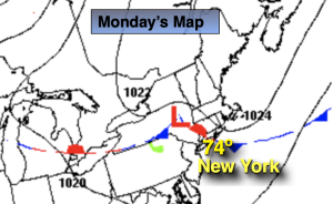
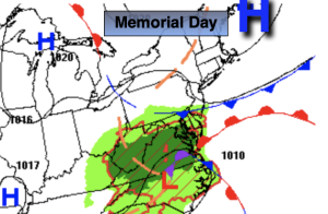
Memorial Day:
A mix of sun and clouds, breezy and mild. Highs in the upper 70s. Northeast to East winds at 10-20mph with gusts to 25mph.
Tonight:
Mostly clear. Lows in the mid 50s in urban areas, the 40s North and West. East to Northeast winds at 8-12mph.
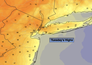
Tuesday:
Mostly sunny. Cooler. Highs in the lower 70s.
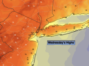
Wednesday:
Mostly sunny. Seasonable. Highs in the mid 70s.
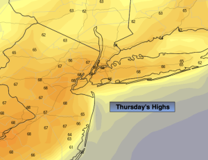
Thursday:
Mostly sunny. Much Warmer. Highs in the mid 80s.
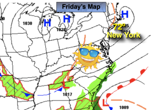
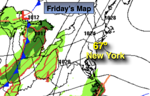
Friday:
Mostly sunny. Hot. Highs around 90º.