Synopsis:
Weak weather systems will be moving rapidly across the country the next several days.
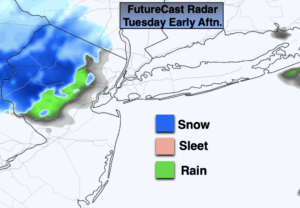
Clouds will dominate on Tuesday as an Alberta clipper moves in. Scattered rain and snow showers are possible by afternoon.
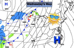
Readings will slowly moderate midweek. High pressure over the Southeast will keep it quiet in our area with a decent amount of sun on Wednesday.
A few morning showers are possible on Thursday as a front washes out over the region. Temperatures will pop to above average levels. It’ll be mild. A mix of sun and clouds is expected.
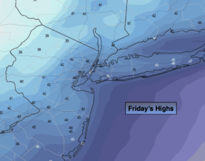
Tranquil conditions are expected for Friday with seasonal readings.
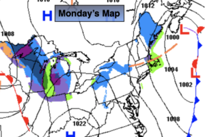
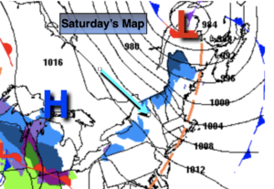
Saturday at this time looks dry with readings a few degrees below the average high of 48 as high pressure moves in from the West.
You know where to find a no hype, no nonsense forecast.
Stay tuned.
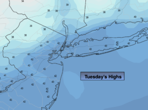
Tuesday:
More clouds than sun. Afternoon rain and snow showers possible. Highs in the lower 40s. West to Southwest winds at 5-10mph.
Tonight:
Clear to partly cloudy. Lows in the mid 30s in the City, the 20s elsewhere. West winds 5-10mph.
Wednesday:
Partly sunny. Highs in the mid to upper 40s.
Thursday:
Morning showers, otherwise, partly sunny. Milder. Highs in the mid 50s.
Friday:
Partly sunny. Seasonal. Highs in the upper 40s.
Saturday:
Partly sunny. Cooler. Highs in the mid 40s.