Synopsis:
A ridge of high pressure will work in from the midwest today and Wednesday resulting in mainly sunny skies. Readings will be around five degrees below the average high of the 65º.
Later Wednesday, a strong cold front will move through with gusty winds. Although it will pass the area rain-free it’ll supply the coldest air of the season so far Wednesday night and Thursday.
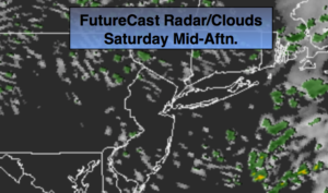
The next chance of a few showers will be Saturday; it will not be a washout.
It looks like Autumn wants to stick around.
You know where to find a no hype, no nonsense forecast.
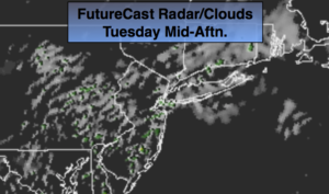
Today:
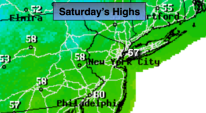
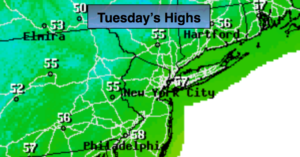
Mostly sunny, cooler. Breezy in the morning. Highs in the upper 50s. Northwest to West winds diminishing to 8-12mph.
Tonight:
Mostly clear. Lows in the upper 40s in the City, the upper 30s inland. West winds at 5-10mph.
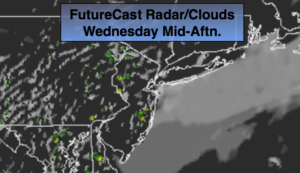
Wednesday:
Partly sunny, cool. Highs around 60º. Becoming windy later in the day.
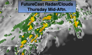
Thursday:
Partly sunny, breezy and much cooler. Highs around 50º.
Friday:
Mostly sunny. Highs in the upper 50s.
Saturday:
Mostly cloudy with spotty showers. Highs around 60º.
Keep it here for a no nonsense, no hype forecast.