Synopsis:
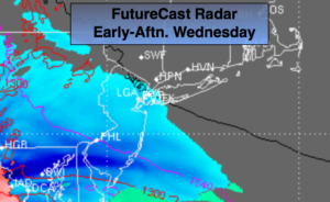
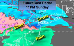
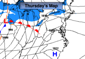
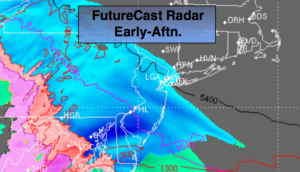
Low pressure will move out of the Ohio Vally and head Northeast today and tonight. Clouds will rapidly thicken during the morning. Snow will develop around midday South and West of the City. It will take until the afternoon hours to reach Eastern sections of the area. The snow may fall at a moderate clip South and West of the City during the afternoon hours.
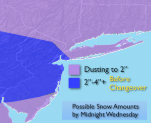
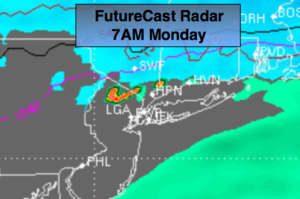
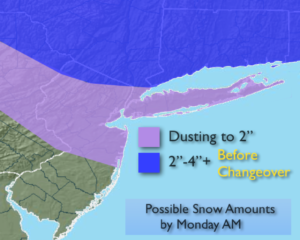
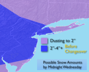
Like so many times this season we’ll be losing cold high pressure to a mild Southerly flow. The snow will turn to a mix and then rain tonight. Before the changeover late Wednesday there’s the potential for dusting (out East) to a light to moderate accumulation (South & West) deepening on your location. The possible accumulation map is above. These amounts are not etched in stone but rather show a generalazation of where the heavier to lighter amounts are expected. As of now, the jackpot zone for snow looks to be Western areas. This is for two reasons: 1) It’ll take a while for the snow to overcome the dry air over Eastern sections and 2) by the time the snow gets to that area warm air will already be working up. It won’t be snowing that long. The PM commute is the one to watch with treacherous conditions likely.
A mix to rain is expected this evening and tonight as the low moves off the New England coast. The rain will end early Thursday morning. Highs on Thursday will spike into the 50s.
More seasonal temperatures are expected Friday and Saturday. It’ll be mainly sunny.
Keep it here for a no nonsense, no hype forecast.
Today:
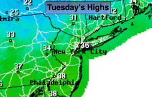
Snow, mix South developing by midday (11am-1pm) . Snow will reach Eastern areas later in the afternoon (1pm-3pm). Highs in the mid 30s. Northeast to Southeast winds at 5mph.
Tonight:
Snow/mix well North will change to freezing rain. Rain elsewhere. Lows in the mid to upper 30s in the City, near freezing well inland. Southeast winds at 5mph.
Thursday:
Morning light rain, otherwise becoming partly sunny. Mild. Highs in the mid 50s.
Friday:
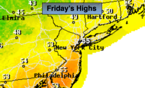
Mostly sunny. Highs in the mid 40s.
Saturday:
Partly sunny. Highs in the mid 40s.
Sunday:
Morning rain, followed by some sun. Highs in the mid 50s.