Synopsis:
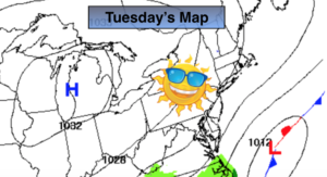
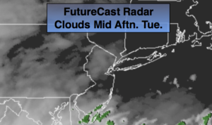
High pressure will move offshore on today. A storm will develop off the Southeast coast today and pass to our East Wednesday morning. Today will start off with sun but high clouds will roll in and filter out the sunshine as the day goes on. Most of the latest computer guidance has nudged the storm track a bit to the East. At this time, rain is likely along the coast tonight. Moderate to heavy rainfall is possible over Eastern Long Island, if the storm tracks close enough. It is possible that the shield of rain works West into some inland areas at its closest approach. Early Wednesday morning areas East of the City will have the rain but it will rapidly taper off. The storm will be out to sea and the sun will return with mild readings.
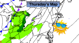
High pressure will once again take control from the North and West on Thursday resulting in a fine day.
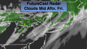
A flow off the ocean and moisture working up from the South will cause showers to develop on Friday.
Keep it here for a no nonsense, no hype forecast.
Today:
Sunny. High clouds will work in later in the day. Highs in the lower 50s. Southeast winds at 8-12mph.
Tonight:
Cloudy. A period of rain is likely along the coast. Rain may fall farther inland for a few hours. Lows in the mid to upper 30s throughout. East to Northwest winds increasing to 10-20mph with higher gusts along the coast.
Wednesday:
Early morning rain over Eastern sections, otherwise mostly sunny. Windy and mild. Highs around 60º.
Thursday:
Partly sunny. Highs in the mid 50s.
Friday:
Mostly cloudy. Scattered showers. Highs around 50º.
Saturday:
Clouds and sun. Highs in the lower 60s.