Synopsis:
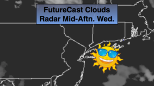
Today will be a top ten day. Mainly sunny skies are expected with low humidity. Highs will be a few degrees above the average high of the mid 60s. A weak disturbance will move into the region on Thursday. Any morning sun will give way to clouds. A few afternoon showers cannot be ruled about. Many areas will remain dry.
By Friday, a cool front will approach. Periods of rain is likely.
The weekend at this time looks decent.
Stay tuned.
Keep it here for a no nonsense, no hype forecast.
Today:
Sunny. Highs in the upper 60s. Northwest winds at 10-15mph.
Tonight:
Mostly clear and cool. Lows around 50º in the City, near 40º well inland. Northwest less than 5mph.
Thursday:
Any morning sun will give way to increasing clouds. Spotty afternoon showers are possible. Highs in the lower to mid 60s.
Friday:
Mostly cloudy. Periods of rain. Highs in the mid 60s.
Saturday:
Partly sunny. Highs in the mid 60s.
Sunday:
Sun to clouds. Slight chance of late day showers. Highs in the mid 60s.