Synopsis:.
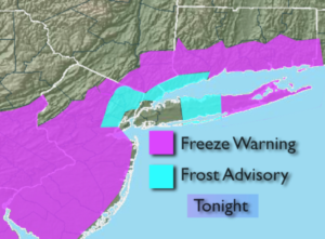
Tonight will be a cold night. High pressure will work over the region. With near calm winds and clear skies readings will plummet, especially just inland. A Freeze Warning has been posted for most of the tri-state area for tonight, excluding NYC. The nearby ‘burbs of NYC are under a Frost Advisory.
The weekend feature plenty of sun and below average readings for early November as high pressure moves in from the West.
Don’t forget to turn the clocks back an hour Saturday Night. Daylight Saving Time ends at 2am Sunday and Eastern Standard Time resumes. We gain an hour sleep. It’s also a good time to change the batteries in the smoke and carbon monoxide detectors.
Pleasant conditions are expected through midweek with moderating temperatures as high pressure remains in control.
No major storms are in sight.
Stay Tuned.
Keep it here for a no nonsense, no hype forecast.
Tonight:
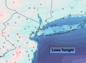
Clear and cold. Lows near 40º in the urban corridor. Near freezing or just below inland. Northwest to North winds less than 5mph.
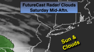
Saturday:
Sunny. Highs in the lower 50s, upper 40s inland Light and variable winds.
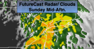
Sunday:
Sunny, chilly. Highs near 50º.
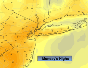
Monday:
Mostly sunny. Highs in the lower to mid 50s.
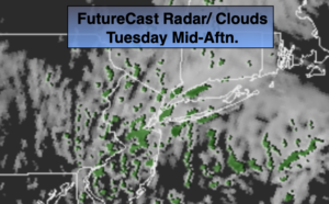
Tuesday:
Mostly sunny, more seasonal. Highs near 60º.
Wednesday:
Mostly sunny. Highs in the mid 50s.