Synopsis:
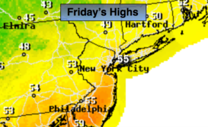
A cool front will approach today with scattered showers, otherwise a mix of sun and clouds is expected. It’ll be quite warm with readings well into the 50s.
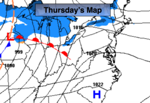
Two weak areas of low pressure will move toward and off the East coast this weekend. System #1 will slide to our South Saturday sparing the area of any light snow. The day should be mostly sunny and seasonal. System #2 has a potential of delivering a bit of light snow Sunday night. A mix of sun and clouds is expected during the day.
Monday and Tuesday will feature a mix of sun and clouds as high pressure over Eastern Canada dominates.
The next system will move out of the Gulf states Tuesday and head Northeast. At this time, it looks like some snow or a mix of precipitation is possible by Wednesday. Stay tuned.
Keep it here for a no nonsense, no hype forecast.
Today:
Mostly cloudy with spotty showers. Warm. Highs in the mid 50s. South to Southwest winds at 8-12mph.
Tonight:
Mostly cloudy. Lows in the mid 30s in the City, the 20s inland. Winds becoming Northwest at 8-12mph.
Saturday:
Mostly sunny. Highs in the lower 40s.
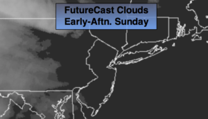
Sunday:
Sun to clouds. Slight chance of a period of light snow at night. Highs around 40º.
Monday:
Partly sunny. Highs around 40º.
Tuesday:
Partly sunny. Highs around 40º.