Synopsis:
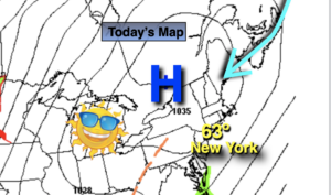
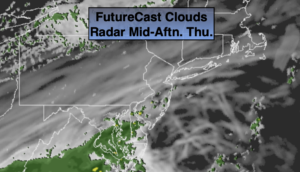
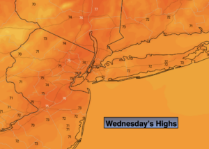
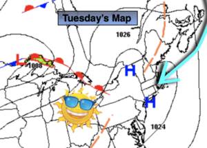
Our warm start to Fall will continue. A Bermuda-like high will continue to bring warmth our way. The difference today will be that clouds will win the battle to the sun. A weak disturbance to our South will be responsible for the grayer sky (don’t get me wrong the filtered sun will still be out there; it just won’t be as stellar as yesterday). Readings will be several degrees above the average high of the low 70s.
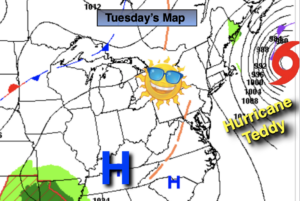
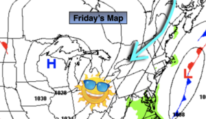
Friday will feature abundant sunshine and warm readings.
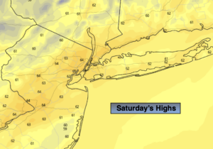
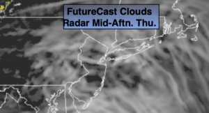
Another weak disturbance riding to our South will result in more clouds than sun on Saturday. Spotty showers can’t be ruled out, but much of the day will be dry. Sunday will be the better half of the weekend and it will be much warmer.
Stay Tuned.
Keep it here for a no nonsense, no hype forecast..
Today:
Clouds and sun. Warm. Highs in the upper 70s. Northwest o South winds at 5-10mph.
Tonight:
Mostly cloudy. Lows in the mid 60s in urban areas, the 50s inland. Southwest wind less than 5mph.
Friday:
Mostly sunny. Warm. Highs around 80º.
Saturday:
More clouds than sun. Spotty showers possible. Highs in the mid 70s.
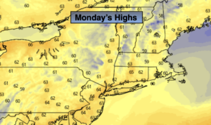
Sunday:
Mostly sunny. Warm. Highs in the lower 80s.
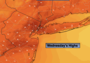
Monday:
More clouds than sun. Spotty showers possible. Highs in the mid 70s.