Synopsis:
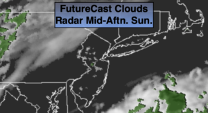
The first weekend of October will be refreshingly cool. Today will start off with sun but clouds will win the battle. Readings will be a few degrees below the average high of 68º.
Low pressure will develop off the Mid-Atlantic coast on Monday and move Northeast. A mix of clouds and some sun is expected with spotty showers. This will not be a big rain producer as the system develops too late and is too far offshore.
Tuesday and Wednesday will be dominated by high pressure. A couple of gems are on the way. Readings will be seasonal and then get above average on Wednesday.
A cool front will move through Thursday with temperatures once again falling below normal under mainly sunny skies.
Stay Tuned.
Keep it here for a no nonsense, no hype forecast.
Today:
Sun to clouds. Highs in the mid 60s. Northeast to Southeast winds at 5-10mph.
Tonight:
Mostly cloudy. Lows in the mid 50s in the City, the 4os inland. North wind at 5mph.
Monday:
Clouds and sun. Spotty showers. Highs in the mid 60s.
Tuesday:
Mostly sunny. Highs in the upper 60s.
Wednesday:
Partly sunny. Mild.. Highs in the lower 70s.
Thursday:
Partly sunny, cooler. Highs in the mid 60s.