Synopsis:
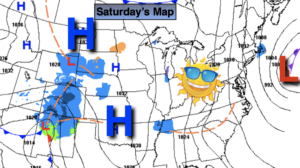
What you see is what you get. Strong High pressure over the center of the country will dominate much of the Eastern two thirds of the nation for days. Mainly sunny skies are expected in the tri-state area with near seasonal readings.
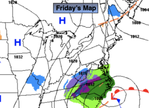
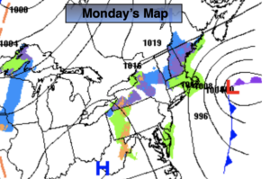
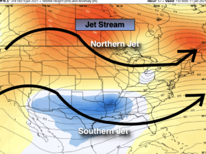
The jet stream (the river of air that guides our weather systems) will be in a split flow. The polar jet will be over the Northern half of the country and the sub-tropical jet will be over the Southern states (2nd map above). For a storm to form we’d need a connection of these two entities in the right spot. This doesn’t look to happen. The result- dry conditions through Friday. Snow lovers the wait continues.
Stay Tuned.
Keep it here for a no nonsense, no hype forecast.
Today:
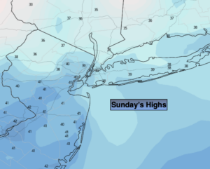
Sunny. Highs around 40º. North to Northwest winds at 5-10mph.
Tonight:
Clear. Lows around 30º in the City, the teens and 20s inland. Northwest winds at 5mph.
Monday:
Mostly sunny. Highs around 40º.
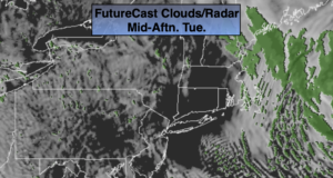
Tuesday:
Sun and clouds. Highs in the lower 40s.
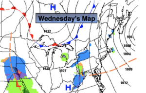
Wednesday:
Mostly sunny. Highs in the mid 40s.
Thursday:
Mostly sunny. Highs in the mid 40s.