Synopsis:
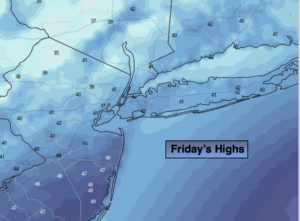
Skies will remain cloudy this afternoon with leftover moisture in the lower levels of the atmosphere. There will be peeks of sun with readings above the average high of 40º.
It’ll be a tranquil night under clear skies. All reading will be at or below freezing. A refreeze of slush and water will occur. Please use caution on untreated surfaces.
The weekend will be a 50/50 split. Saturday will be the better half with abundant sunshine as high pressure works in.
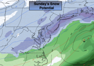
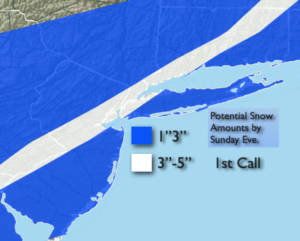
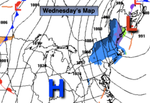
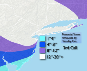
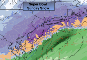
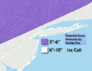
The latest computer models have a storm developing close enough to our coast to give most of the region a significant snowfall on Super Bowl Sunday. The storm, unlike it’s predecessor is a quick mover. The storm will be out of our area by Sunday mid to late afternoon. The sun may close out the day. The 1st call amounts are posted. Yes, a plowable snow is expected with the jackpot amounts closer to the coast. This a possible amounts map and will change as the track, as usual, is not etched in stone. If the storm comes closer to the coast amounts will have to be lowered at the coast due to a mix or dry slot.
Bright and cold conditions will greet us for the beginning of the week.
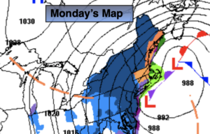
Another system developing to our Southwest will move our way with another threat of snow or a mix. Hang on!
Stay Tuned.
Keep it here for a no nonsense, no hype forecast.
This Afternoon
Mostly cloudy. Peeks of sun. Highs in the lower to mid 40s. Southwest to West winds at 8-12mph.
Tonight:
Clear. Lows around freezing in the City, the 20s inland. West winds at 5-10mph.
Saturday:
Mostly sunny. Mild. Highs in the mid 40s.
Sunday:
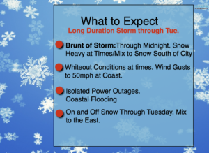
Snow. Late day sun. Highs in the 30s.
Monday:
Mostly sunny.Colder. Highs in the mid 30s.
Tuesday:
Snow/mix potential. Highs in the mid 30s.