Synopsis:
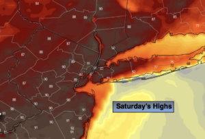
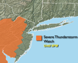
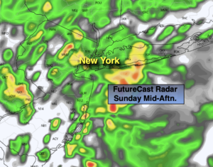
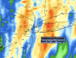
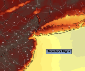
A Bermuda high will be responsible for our heat and humidity the next several days. Now, whether it’s an official heatwave (3 consecutive days of 90º+) for New York City remains to be seen. Many reporting stations will record a heatwave such as Newark and other urban areas. A South wind will keep parts of the 5 boroughs on NYC and Long Island cooler (map above). No matter how you slice it our hot and humid weather continue. Hazy sun is expected through Wednesday. An isolated afternoon storm is possible today. A greater chance of scattered thunderstorms is in the forecast for Tuesday and Wednesday afternoon and evening.
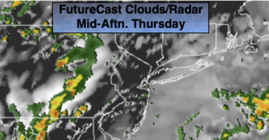
A cold front will pass through the region on Thursday with relief from the heat and humidity. Scattered showers are possible, otherwise a mix of sun and clouds is expected.
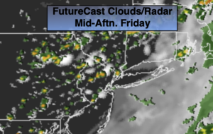
On Friday, the front to our South may make a run for our area and nudge north. If this occurs more clouds and showers are possible. It will be much cooler with readings actually below the average high of 77º.
Stay tuned.
Keep it here for a no nonsense, no hype forecast.
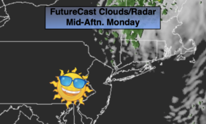
Today:
Hazy, hot and humid. Isolated PM Storm. Highs around 90º in the City. The lower 90s to the West. The upper 70s and 80s along the coast and over parts of Long Island. Southwest to South winds at 8-12mph.
Tonight:
Partly cloudy. Lows in the lower 70s in the City. Lows in the upper 60s inland. South winds at 5mph.
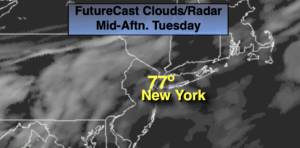
Tuesday:
Hazy, very warm and humid. Scattered PM Storms. Highs in the mid 80s in the City, to around 90º West. Cooler at the coast.
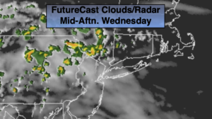
Wednesday:
Hazy, hot and humid. Scattered PM Storms. Highs in the upper 80s to around 90º. Cooler at the coast.
Thursday:
Sun and clouds. Much cooler. Scattered showers possible. Highs around 80º.
Friday:
Sun and clouds. Comfortable. Scattered showers possible. Highs in the mid 70s.