Synopsis:
Any clouds will give way to mainly sunny skies for today- August’s debut. It will be less humid. Friday will be seasonal with plenty of sun and right now the weekend looks decent as high pressure settles over the Northeast. There maybe isolated storms on Saturday but I wouldn’t cancel my outdoor plans.
Stay tuned.
Keep it here for a no nonsense, no hype forecast.
Today:
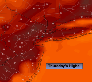
Early clouds to sun. Not as humid. Highs in the mid 80s. Northeast to Southeast winds at 5-10mph.
Tonight:
Partly cloudy. Lows around 70º in urban areas, near 60º inland. Light Northeast winds.
Friday:
Mostly sunny. Highs in the mid 80s.
Saturday:
Partly sunny and more humid. Isolated PM storms. Highs in the mid to upper 80s.
Sunday:
Mostly sunny. Highs in the upper 80s.
Monday:
Mostly sunny. Highs in the upper 80s.