Synopsis:
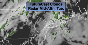
A weak front will washout to our North and West through Wednesday. This will result in more clouds than sun. Scattered showers are possible for areas East of the City through midday today. An isolated shower is possible elsewhere. It will be mild as there is no cold air over the Eastern part of the country.
Tonight will be cloudy and mild. There’ll be areas of fog and patchy drizzle. Wednesday will be warm but mainly grey. The sun may make an appearance during the afternoon.
Increasing sunshine is on the way for late week. Thursday will be mainly sunny and Spring-like! Ahead of an approaching cool front highs may reach the mid 70s. A slightly cooler push of air will reach the area on Friday and Saturday as high pressure influences our weather from Eastern Canada. Readings will still be well above the average high of the lower 60s. The sun will dominate into the weekend. Enjoy!
Stay Tuned.
Keep it here for a no nonsense, no hype forecast.
Today:
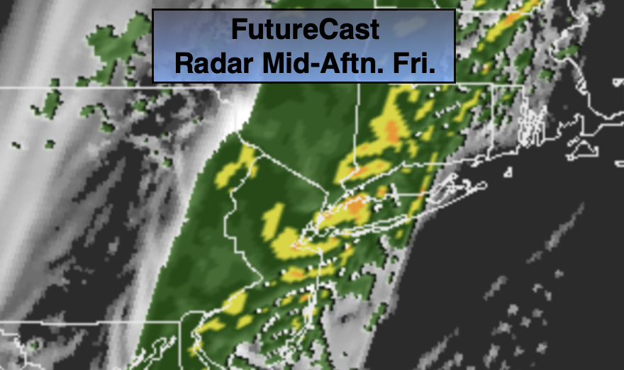
Mostly cloudy and mild. Scattered showers through midday East of the City. An isolated shower can’t be ruled out elsewhere. Highs in the upper 60s. Southeast to South winds at 5mph.
Tonight:
Cloudy with areas of fog and patchy drizzle. Lows in the 50s throughout. Southeast to East winds at less than 5mph.
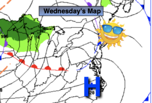
Wednesday:
Cloudy during the morning with patchy drizzle. There is a chance of seeing the some sun during the afternoon. Warmer. Highs in the lower 70s.
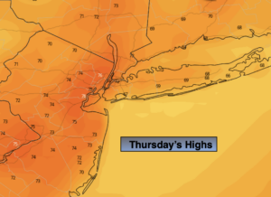
Thursday:
Mostly sunny. Warm. Highs in the mid 70s.
Friday:
Sunny. Highs in the upper 60s.
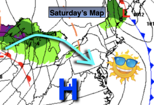
Saturday:
Partly sunny. Highs in the upper 60s.