Synopsis:
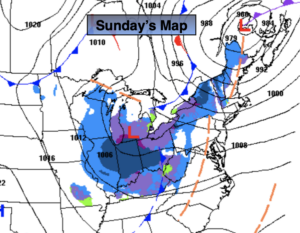
Strong high pressure over Canada will influence our weather this weekend. Sunny skies are expected with below average temperatures. Today, the wind will add a bite. Sunday will be more tranquil.
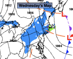
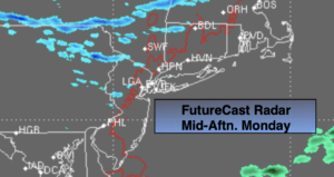
Low pressure will be over the Central Appalachians on Monday. Any sun will give way to increasing and thickening clouds. As the low moves just to our South it will throw light snow our way Monday Night. The low will weaken and move offshore on Tuesday. Light snow is likely for the majority of Tuesday. An accumulation is likely but this does not look like a major snowfall at this time. The early thinking is possibly a coating to a few inches.
The sun will return Wednesday as a cold Northerly flow continues.
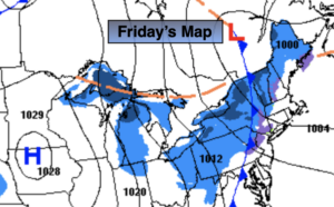
The next system looks to pass well to our South Thursday.
Stay Tuned.
Keep it here for a no nonsense, no hype forecast.
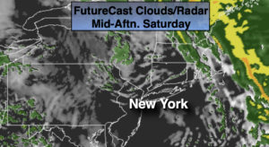
Today:
Mostly sunny. Windy. Highs around freezing. Wind chills in the 20s. Northwest winds at 15-30mph.
Tonight:
Clear, breezy and frigid. Lows around 20º in the City, 10º-20º inland. Northwest winds at 10-20mph.
Sunday:
Sunny. Highs in the lower to mid 30s.
Monday:
Early sun, otherwise thickening clouds. Highs in the mid 30s.
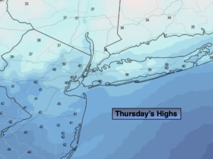
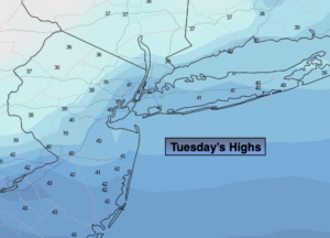
Tuesday:
Occasional light snow. Highs in the mid 30s.
Wednesday:
Mostly sunny. Highs in the mid 30s.