Synopsis:
Wall to wall sunshine is expected for today. It will be a beauty with readings just below the average high of 79º. It’ll be breezy. High pressure will dominate our area through the weekend. Bright skies and near seasonal temperatures are anticipated for Saturday. By Sunday, the high will move off the coast and a Southwesterly flow will develop. This will result in warmer and more humid conditions.
Not much will change for the beginning of the week. The high will be to the Southeast and a weak cool front will washout over the region. Mostly sunny skies and warm conditions are in the forecast through Tuesday.
Stay tuned.
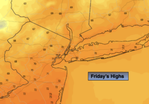
Friday:
Sunny and breezy. Highs in the mid to upper 70s. Northwest winds at 10-20mph with higher gusts.
Tonight:
Clear and cool. Lows around 60º in the City, the 40s and 50s inland. Northwest wind at 5mph.
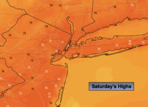
Saturday :
Sunny. Highs in the upper 70s.
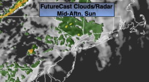
Sunday:
Mostly sunny. Warmer and more humid. Highs in the lower to mid 80s.
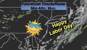
Monday:
Mostly sunny. Highs in the lower to mid 80s.
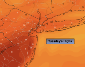
Tuesday:
Partly sunny. Highs in the upper 70s to around 80º.