Synopsis:
A deep Southerly flow will develop around a Bermuda high today. This will result in readings skyrocketing to Summer-like readings. Any morning fog or clouds will give way to sunny skies. Many areas just away from the coast will crack 90º. A Heat Advisory is in effect for most of the area. The combination of the temperature and humidity will make it feel between 95º-100º. This is our first bout with hot weather. Please take it slow, listen to your body if you feel tired or cramp up. Drink plenty of fluids.
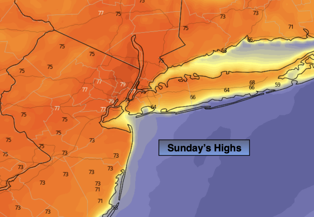
This pattern will continue for Sunday. Hazy, hot and humid conditions are expected.
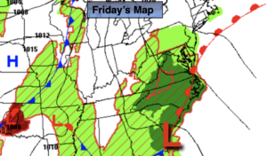
A cool front will move through the region Sunday night with scattered showers and maybe a rumble of thunder. Relief will arrive Monday behind the front under a mix of sun and clouds. Readings will be just above the average high of 73º.
Tuesday and Wednesday will be comfortable with a refreshing air mass over the region as high pressure moves overhead. A mix of clouds and sun is expected.
Stay tuned.
Keep it here for a no hype, no nonsense forecast.
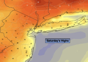
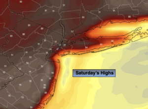
Saturday:
Areas of morning fog and clouds, otherwise becoming mostly sunny, hot and humid. Highs in the upper 80s to lower to mid 90s, cooler at the coast. Heat Index: 95º-100º. South to Southwest winds at 5-10mph.
Tonight:
Hazy, warm and muggy. Lows in the lower 70s in urban areas, the 60s inland. Light Southwest winds.
Sunday:
Hazy, hot and humid. Highs in the upper 80s to lower 90s. Cooler at the coast.
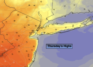
Monday:
Mostly sunny. Much more comfortable. Highs in the mid to upper 70s.
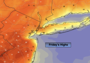
Tuesday:
Clouds and sun. Cooler. Highs in the lower 70s.
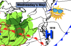
Wednesday:
Clouds and sun. Highs around 70º.
Catch me on the Fox Business Network from 6am-9am this weekend and on the Fox Weather Stream until Noon. Find us on Tubi, Roku TV and YouTube TV and as always the Fox Weather App. It’s Free!