Synopsis:
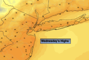
It has been days since we’ve seen the sun but today we’ll be rewarded as abundant sunshine is expected as high pressure moves in from the South and West. Readings will pop into the lower 70s. A dramatic and welcome change from the grey and raw.
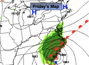
It’ll be a Fall classic for Friday with plenty of sun and mild readings ahead of a cold front.
Behind the front on Saturday readings will be around ten degrees below the average high of 68º despite the sunhine.
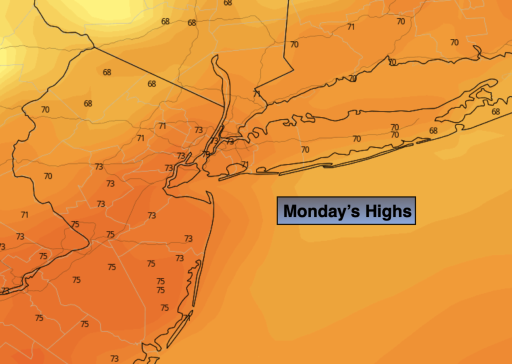
Sunday and Monday will be bright and cool as high pressure works in from the Northwest.
Keep it here for a no hype, no nonsense forecast.
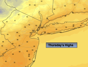
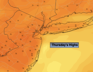
Thursday:
Sunny. Warmer. Highs in the lower 70s. Northwest to Southwest winds at m5ph.
Tonight:
Clear. Lows around 60º in the City, the upper 40s and 50s inland. Southwest winds at 5mph.
Friday:
Mostly sunny. Mild. Highs in the lower to mid 70s.
Saturday:
Mostly sunny. Cooler and breezy. Highs only in the upper 50s.
Sunday:
Sunny. Highs in the lower 60s.
Monday:
Sunny. Highs in the lower 60s.