Synopsis:
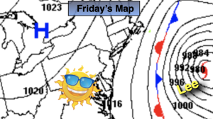
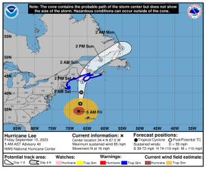
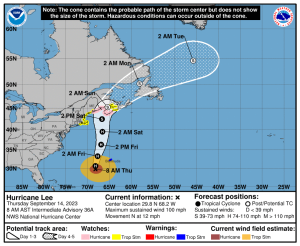
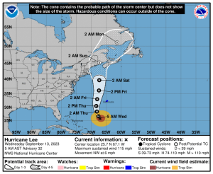
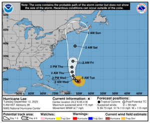
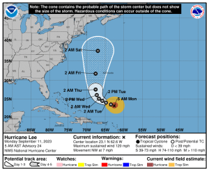
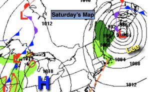
High pressure to our West will keep our weather delightful this weekend as Post Tropical Cyclone Lee continues to move North and makes landfall over Atlantic Canada or over the extreme Eastern tip of Maine midday today. High surf, beach erosion and rip currents can be expected in our region through Saturday.
Both today and Sunday will feature plenty of sunshine and seasonable readings in our region. Later Sunday, clouds will roll in ahead of the next low pressure area moving up from the South. Scattered showers are likely Sunday evening through Monday.
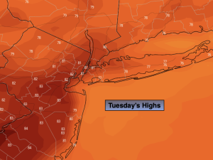
Tuesday and Wednesday will be a gems with abundant sunshine and comfortable temperatures as high pressure influences our conditions from the Great Lakes.
Stay tuned.
Keep it here for a no nonsense, no hype forecast.
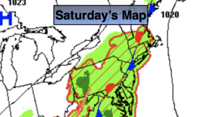
Saturday:
Mostly sunny. Breezy. Highs in the mid 70s. West to Northwest winds at 10-20mph.
Tonight:
Mostly clear. Lows around 60º in the City, the 40s & 50s inland. Northwest winds at 5mph.
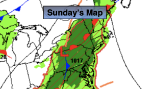
Sunday:
Sun to clouds. Highs in the mid to upper 70s.
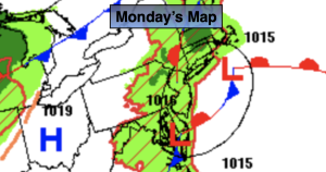
Monday:
Scattered showers, most likely in the morning, otherwise mostly cloudy. Highs around 70º.
Tuesday:
Sunny. Highs in the mid 70s.
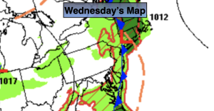
Wednesday:
Sunny. Highs in the mid 70s.